About GeoX AI
The bigger picture, ready to use.
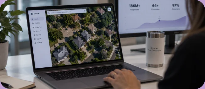
GeoX AI turns aerial and satellite imagery into property intelligence for insurance teams, so you can see what's on and around a property and decide faster.

Property risk starts with seeing the property clearly.
Insurance decisions depend on the quality and completeness of the property information behind them. Yet teams often work across applications, inspections, records, imagery, and other sources that are difficult to compare and time-consuming to review.
The result is a more usable view of the property: pre-processed, structured, and ready for the work your team needs to do.
-
Aerial and satellite imagery
-
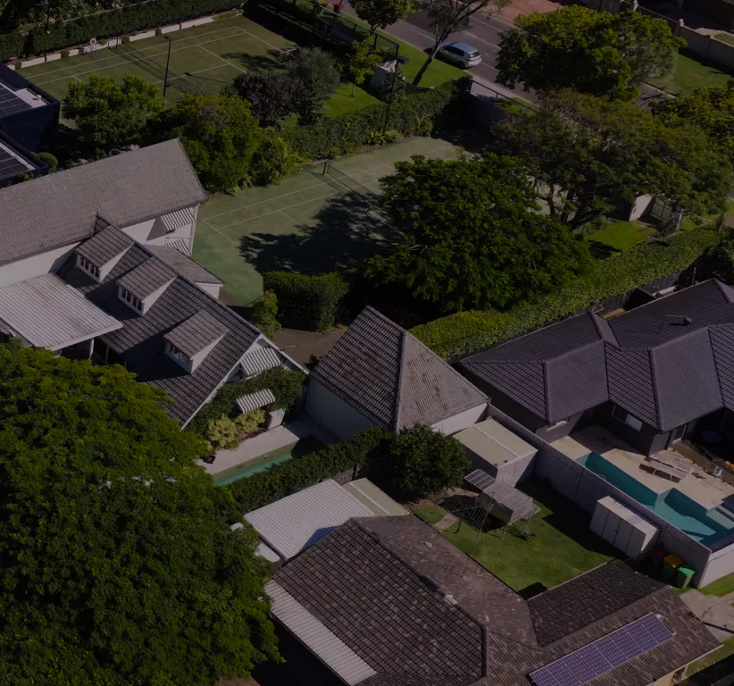
Building and roof details
-
Historical views
-
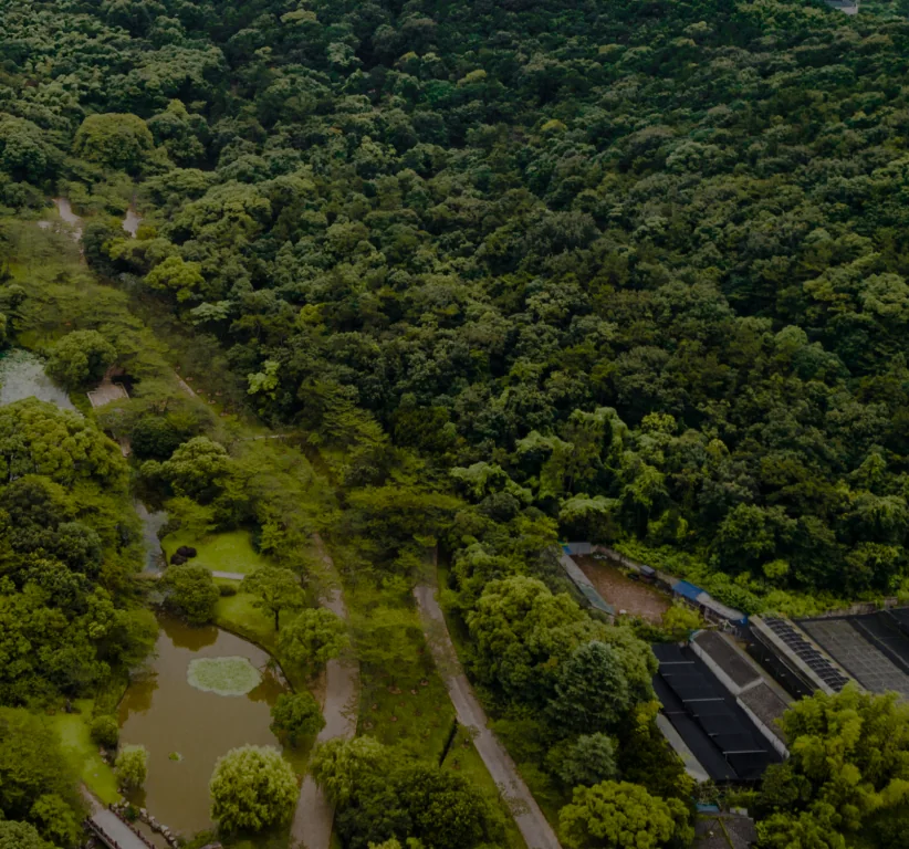
Vegetation
-
Surrounding conditions
-

Exposure


From visual information to usable property intelligence.
GeoX AI transforms complex imagery into structured property data that teams can use across underwriting, portfolio assessment, renewal review, claims, and catastrophe response.
-
See more of the property
Understand building, roof, environmental, and surrounding-property characteristics from a broader visual and data context.
-
Structured from day one
Work with structured property intelligence instead of spending time gathering, cleaning, and interpreting disparate sources.
-
Put it where your team works
Use GeoX through the product, delivery method, or integration approach that matches your workflow.
Built around the decisions insurance teams make.
GeoX is designed around practical insurance work. Whether a team is reviewing a property at the point of quote, assessing a portfolio, monitoring change at renewal, or responding after an event.
-
Point of quote
Review a property
-
Portfolio assessment
Analyze at scale
-
Renewal
Monitor property change
-
After an
eventSupport faster response
The goal is the same: make relevant property information easier to access, understand, and use.
Practical intelligence. Flexible partnership.

-
Built for the bigger picture
Look beyond a single attribute. Bring building, roof, imagery, vegetation, and surrounding-property information into a more complete view of risk.
-
Flexible by design
Different teams need different ways to work. GeoX supports the access and delivery options available for the relevant product and use case.
-
Partnership, not just data
Clear communication, practical implementation support, and a workflow-first approach help teams move from evaluation to use with less friction.
The right data is only
useful if it works for your team.
See how GeoX can fit your workflow
-
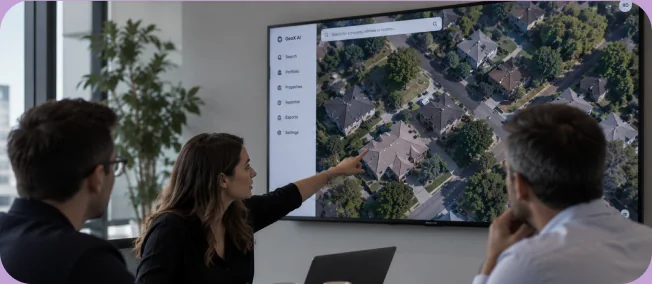
Understand the use case
-
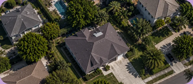
Align the data to the decision
-
Support a practical path to adoption
Work with property intelligence that works with you
See how GeoX AI can help your team work with property data more efficiently, make clearer risk decisions, and move forward with confidence.
Request a demo